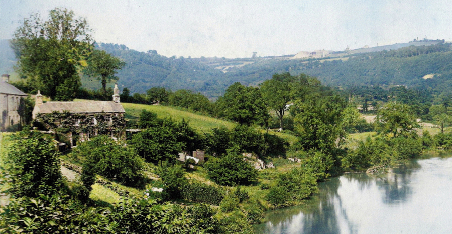
Tamara Mineworkers Smallholdings research
The Cornwall and West Devon Mining Landscape World Heritage Site is the largest industrial World Heritage Site (WHS) in the UK and is defined by a suite of seven landscape ‘attributes’ (or features) which together express the Site’s Outstanding Universal Value (OUV), or international importance.
While metalliferous mine sites with their component Cornish-type engine houses and other features are somewhat recognisable within the landscapes of Cornwall and west Devon, former mineworkers’ smallholdings are much less so. These are often mistaken as simply small fields, or clusters of small fields, associated with commercial farming.
Historically, these smallholdings comprised small subsistence farms whereby mineworkers would manage a small landholding of perhaps 3 to 5 acres in size, to grow fruit, vegetables and perhaps raise chickens or pig. In this way the income of the mineworker would be greatly supplemented by the efforts of the family at home.
The Cornwall and West Devon Mining Landscape World Heritage Site is a member of the Tamara Landscape Partnership scheme, which constitutes a five-year programme of activities that encompass a range of outcomes in the Tamar Valley focusing on the four themes of ‘People and communities’, ‘Heritage’, ‘Access and sustainable tourism’, and ‘Farming and land management’.
This study was commissioned by the Cornwall and West Devon Mining Landscape World Heritage Site Office on behalf of the World Heritage Site Partnership, the Tamara Landscape Partnership and the Tamar Valley Area of Outstanding Natural Beauty. The assessment was undertaken to record smallholding mineworkers within the Tamara Landscape Partnership scheme area, in the mid-nineteenth century, using primarily parish Tithe data and Census Returns. A total of 77 smallholding mineworker case studies were produced across three parishes, with genealogical histories created for each.
The research provides an excellent ‘snapshot’ of smallholding mineworkers living in the Tamar Valley in the mid-nineteenth century and the exhaustive genealogical detail contained with the respective case studies will be of considerable benefit to those undertaking genealogical research into families that have links with the valley and also those wishing to interpret this aspect of mining history.
For more information on the Tamara Landscape Partnership scheme, please visit https://tamaralandscapepartnership.org.uk
This research was made possible through support from the Heritage Fund
Mineworkers’ Smallholdings within the Tamara Landscape Partnership area
This report is being shared as separate PDFs in addition to its original complete form to aid downloading.
PDF document reader software may be required to view these files, which can be downloaded from the Adobe website
Report contents (as separate PDF files)
- Pages 01 - 25 - Purpose of the research, methodology, study overview and index
- Pages 26 - 87 - Case studies - Calstock Parish surnames A to F
- Pages 88 - 133 - Case studies - Calstock Parish surnames G to L
- Pages 134 - 195 - Case studies - Calstock Parish surnames M to R
- Pages 196 - 286 - Case studies - Calstock Parish surnames S to Z
- Pages 287 - 341 - Case studies - Stoke Climsland Parish surnames A to M
- Pages 342 - 370 - Case studies - Stoke Climsland Parish surnames N to Z
- Pages 371 - 396 - Case studies - Bere Ferrers Parish surnames A to M
- Pages 397 - 415 - Case studies - Bere Ferrers Parish surnames N to Z
- Pages 416 - 419 - Index of surnames
- Pages 420 - 425 - Index of places
Mineworkers’ Smallholdings within the Tamara Landscape Partnership area (complete PDF, 426 pages, 82MB)
© Tamara Landscape Partnership/Tamar Valley Area of Outstanding Natural Beauty/Cornwall and West Devon Mining Landscape World Heritage Site 2023
